 Global Information
Tebutop information
| Tebutop | |
|---|---|
 | |
| Highest point | |
| Elevation | 374 m (1,227 ft)[1] |
| Coordinates | 3°29′20″N 55°9′5″W / 3.48889°N 55.15139°W |
| Geography | |
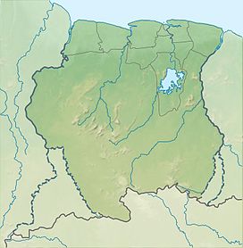 Tebutop Suriname | |
| Location | Sipaliwini District, Suriname |
| Parent range | Emma Range |
Tebutop is a mountain in Suriname at 374 metres (1,227 ft).[1] It is located in the Sipaliwini District.
The mountain was explored during both the 1904 Tapanahony expedition and the 1907 Tumuk Humak expedition. The mountain is sacred for the Ndyuka and Amerindians that live in the area.[2][3]
- ^ a b "Ecotoerist helpt regenwoud redden". de Volkskrant (in Dutch). Retrieved 25 June 2020.
- ^ Van Wetering & Thoden van Velzen 2013, pp. 168–171.
- ^ "Apetina en Tebutop-expeditie". Suriname Tour (in Dutch). Retrieved 25 June 2020.