 Global Information
Kallarkutty Dam information
This article relies largely or entirely on a single source. (July 2021) |
| Kallarkutty Dam | |
|---|---|
 Kallarkutty dam in 2021 | |
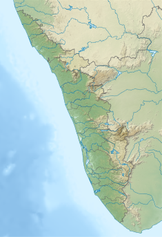 Location of Kallarkutty Dam in Kerala  Kallarkutty Dam (India) | |
| Country | India |
| Location | Idukki, Kerala |
| Coordinates | 9°58′48″N 77°00′05″E / 9.98000°N 77.00139°E |
| Purpose | Power |
| Status | Operational |
| Opening date | 1961 |
| Owner(s) | Kerala State Electricity Board |
| Dam and spillways | |
| Type of dam | Gravity dam |
| Impounds | Muthirapuzha river |
| Height (foundation) | 43 m (141 ft) |
| Length | 182.88 m (600.0 ft) |
| Spillways | 5 |
| Spillway type | Ogee type, radial gates, each of size 10.97 x 6.4 m |
| Reservoir | |
| Normal elevation | 456.90 m (1,499.0 ft) |
| Website KSEB - Official website | |
Kallarkutty Dam is a gravity dam built on the Muthirapuzha river, a tributary of the Periyar river, as part of the Neriamangalam Hydroelectric Project[1] at Kallarkutty in Vellathooval panchayat of Idukki district in Kerala, India. The water discharged from the Chenkulam dam's powerhouse and the Muthirapuzha river is diverted to the Neriamangalam powerhouse near Panamkutty above the Pambla dam. The Hydroelectric Project was commissioned on 27 January 1961 to generate 45 MW of power using 3 turbines with a capacity of 15 MW. In 2006, the project was upgraded from 45 MW to 52.65 MW.[2] Taluks through which release flow are Udumbanchola, Devikulam, Idukki, Kothamangalam, Muvattupuzha, Kunnathunadu, Aluva, Kodungalloor and Paravur. The Project was led by Kerala State Electricity Board Engineer E.U. Philipose
- ^ "Photo Gallery Album | DRIP - Dam Rehabilitation and Improvement Project". damsafety.in. Retrieved 25 July 2021.
- ^ "Kerala State Electricity Board Limited - Mudirappuzha Basin Hydro Projects". www.kseb.in. Retrieved 7 July 2021.