 Global Information
Zrenjanin Airfield information
Zrenjanin Airfield Aerodrom Zrenjanin | |||||||||||
|---|---|---|---|---|---|---|---|---|---|---|---|
| |||||||||||
| Summary | |||||||||||
| Airport type | Public | ||||||||||
| Operator | Government of Serbia | ||||||||||
| Location | Zrenjanin | ||||||||||
| Elevation AMSL | 246 ft / 75 m | ||||||||||
| Coordinates | 45°20′23.12″N 20°27′14.68″E / 45.3397556°N 20.4540778°E | ||||||||||
| Map | |||||||||||
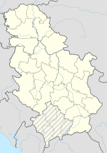 Zrenjanin Airfield | |||||||||||
| Runways | |||||||||||
| |||||||||||
Zrenjanin Airfield (Serbian Latin: Aerodrom Zrenjanin, Cyrillic: Аеродром 3peњaнин) (ICAO: LYZR), also known as Ečka Airfield (Serbian: Аеродром Ечка / Aerodrom Ečka), is a recreational aerodrome in the Zrenjanin Municipality, Serbia, which replaced in 1977 the old Zrenjanin Airfield built in 1929 in Bagljaš. The aerodrome is registered for sports and trade usage, and used for pilot training.