 Global Information
Semela Ridge information
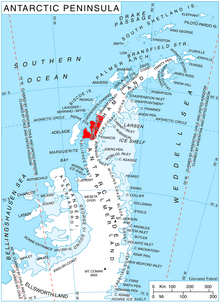
Semela Ridge (Bulgarian: рид Семела, ‘Rid Semela’ \'rid se-'me-la\ is the ice-covered ridge extending 8.5 km in east-west direction and 3.2 km wide, rising to 2026 m[1] in the west foothills of Bruce Plateau on Loubet Coast in Graham Land, Antarctica. It has steep and partly ice-free south, west and north slopes, and surmounts Erskine Glacier to the south and west, and Byway Glacier to the north.
The ridge is named after the Thracian goddess Semela.
- ^ Reference Elevation Model of Antarctica. Polar Geospatial Center. University of Minnesota, 2019