 Global Information
Narowlya information
Narowlya
Нароўля (Belarusian) | |
|---|---|
Town | |
 | |
 Coat of arms | |
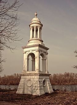
 Narowlya | |
| Coordinates: 51°53′21″N 29°57′52″E / 51.88917°N 29.96444°E | |
| Country | Belarus |
| Region | Gomel Region |
| District | Narowlya District |
| Population (2024)[1] | |
| • Total | 8,371 |
| Time zone | UTC+3 (MSK) |
| Postal code | 247800 |
| Area code | +375 2355 |
| License plate | 3 |
Narowlya (Belarusian: Нароўля, romanized: Naroŭlia;[a] Russian: Наровля, romanized: Narovlya; Polish: Narowla) is a town in Gomel Region, Belarus. It serves as the administrative center of Narowlya District.[1] As of 2024, it has a population of 8,371.[1]
In 1986, the city experienced heavy radioactive fallout from the Chernobyl accident.[2] Today it is located on the border of Polesie State Radioecological Reserve.
- ^ a b c "Численность населения на 1 января 2024 г. и среднегодовая численность населения за 2023 год по Республике Беларусь в разрезе областей, районов, городов, поселков городского типа". belsat.gov.by. Archived from the original on 2 April 2024. Retrieved 6 May 2024.
- ^ "English: Chernobyl radiation map from CIA handbook, SVG'd by User:Sting, and re-anglified by me (To the same strange names used in the original)".
Cite error: There are <ref group=lower-alpha> tags or {{efn}} templates on this page, but the references will not show without a {{reflist|group=lower-alpha}} template or {{notelist}} template (see the help page).