 Global Information
Manubul Island information
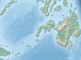 Manubul Island Location within the Philippines | |
| Geography | |
|---|---|
| Coordinates | 5°28′18″N 120°47′58″E / 5.47167°N 120.79944°E |
| Archipelago | Sulu |
| Adjacent to | Celebes Sea |
| Area | 0.13 km2 (0.050 sq mi) |
| Administration | |
| Region | Bangsamoro |
| Province | Sulu |
| Municipality | Pandami |
| Barangay | North Manubul South Manubul Tenga Manubul |
| Demographics | |
| Population | 7,644 (2020) |
| Pop. density | 58,800/km2 (152300/sq mi) |
| Ethnic groups | Sama Tausug |
Manubul is a densely populated island in the province of Sulu, Philippines. The island is under the municipal government of Pandami, Sulu. Manubul is part of the chain of islands called the Sulu Archipelago. It is located near the islands of Siasi and Lapak.
Through an Executive Order by President Diosdado Macapagal in 1965, the island, which was once part of Siasi is now under the jurisdiction of Pandami.[1]
- ^ "Executive Order No. 175" (PDF). lawphil.net.