 Global Information
Hellstugueggi information
| Hellstugueggi | |
|---|---|
| Helleggi | |
 Hellstugueggi Location of the mountain 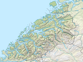 Hellstugueggi Hellstugueggi (Møre og Romsdal)  Hellstugueggi Hellstugueggi (Norway) | |
| Highest point | |
| Elevation | 1,666 m (5,466 ft)[2] |
| Prominence | 213 m (699 ft)[2] |
| Isolation | 2.7 km (1.7 mi)[2] |
| Coordinates | 62°05′51″N 7°30′50″E / 62.09746°N 7.5139°E[1] |
| Geography | |
| Location | Innlandet and Møre og Romsdal, Norway |
| Parent range | Tafjordfjella |
Hellstugueggi or Helleggi is a mountain on the border of Fjord Municipality in Møre og Romsdal county and Skjåk Municipality in Innlandet county in Norway. The 1,666-metre (5,466 ft) tall mountain is located in the Tafjordfjella mountains, about 11 kilometres (6.8 mi) northwest of the village of Grotli. The mountain is surrounded by several other notable mountains including Krosshø to the southeast and Breiddalseggi to the southwest.[2]
- ^ "Helleggi, Skjåk" (in Norwegian). yr.no. Retrieved 21 April 2022.
- ^ a b c d "Helleggi". PeakVisor.com. Retrieved 21 April 2022.