 Global Information
Gaydari Peak information
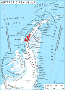
Gaydari Peak (Bulgarian: връх Гайдари, romanized: vrah Gaydari, IPA: [ˈvrɤɣ ɡɐjˈdari]) is the ice-covered peak rising to 852 m[1] on the coast of Darbel Bay on Loubet Coast in Graham Land, Antarctica. It surmounts Darbel Bay to the west and its part Tlachene Cove to the south, and Hopkins Glacier to the southeast.
The peak is named after the settlement of Gaydari in the Northern Bulgaria.
- ^ Reference Elevation Model of Antarctica. Polar Geospatial Center. University of Minnesota, 2019