 Global Information
Comarca Minera Geopark information
| Comarca Minera Geopark | |
|---|---|
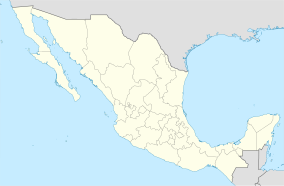 Geopark location in Mexico | |
| Coordinates | 20°12′53″N 98°43′50″W / 20.21472°N 98.73056°W |
| Area | 1,848 km2 (714 sq mi) |
| Designated | May 5, 2017 |
| Administrator | UNESCO |
| www | |
The Comarca Minera Geopark is located in the center-south of the Mexican state of Hidalgo. It extends over nine municipalities: Atotonilco el Grande, Epazoyucan, Huasca de Ocampo, Mineral del Chico, Mineral de la Reforma, Mineral del Monte, Omitlán de Juárez, Pachuca de Soto and Singuilucan. These municipalities are articulated by a network of 31 geosites, elected because they express the geological history of the territory and highlight the relationship between mining and metallurgy, and the historical spaces and cultural development of the region. In addition, they are important for science and education and, mostly, have a significant landscape value.[1][2]


- ^ Canet, Carles (coord.) (2018). Guía de campo del Geoparque de la Comarca Minera. Universidad Nacional Autónoma de México. ISBN 978-607-30-0760-3.
- ^ "Geoparque Comarca Minera". Official Website.