 Global Information
Caubian Islands information
Mga isla sa Caubian | |
|---|---|
 Caubian Gamay Island | |
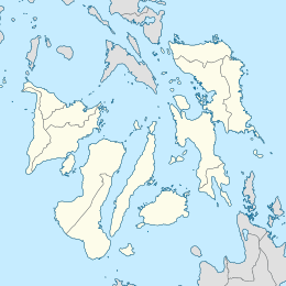 Caubian Islands Location within the Philippines  Caubian Islands Caubian Islands (Philippines) | |
| Geography | |
| Coordinates | 10°16′38″N 124°10′8″E / 10.27722°N 124.16889°E |
| Archipelago | Philippine |
| Adjacent to | Camotes Sea |
| Administration | |
| Region | Central Visayas |
| City | Lapu-Lapu |
| Barangay | Caubian |
| Demographics | |
| Population | 2,429 (2020) |
| Ethnic groups | Cebuano |
Caubian Islands is a group of islands of Lapu-Lapu City, Philippines. Located in the Camotes Sea, it is approximately 13 kilometers (8.1 mi) north from Getafe, Bohol, and 15 kilometers (9.3 mi) east from Mactan Island. The group consists of two small islands: the bigger uninhabited Caubian Daku, also called Poo, and the smaller but densely populated Caubian Gamay. Both islands are located in the Danajon Bank, the only double barrier reef in the Philippines and known to be one of the richest fishing grounds in the country. It is part of the Olango Island Group. Most of the families depend on fishing and speak the Cebuano language. According to the 2020 census, the islands has a population of 2,429.[1] With an area of around 0.06km2, Caubian Gamay has an estimated population density of 60,725/km2. It is regarded to be one of the densest populated islands in the world.

- ^ "Barangay Caubian - Philippine Standard Geographic Code". Philippine Statistics Authority. Retrieved 2022-06-30.