 Global Information
Backlundtoppen information
| Backlundtoppen | |
|---|---|
 Backlundtoppen | |
| Highest point | |
| Elevation | 1,068 m (3,504 ft) |
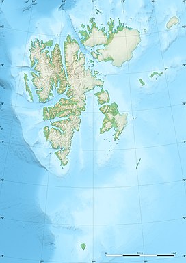
| Coordinates | 78°43′05″N 18°13′09″E / 78.7181°N 18.2193°E |
Backlundtoppen is a mountain in Olav V Land at Spitsbergen, Svalbard. It has a height of 1,068 m.a.s.l. and is located east of Billefjorden and west of Akademikarbreen. The mountain is named after Swedish-Russian astronomer Johan Oskar Backlund. It hosted a trigonometric station during the Swedish-Russian Arc-of-Meridian Expedition.[1][2][3]
- ^ "Backlundtoppen (Svalbard)". Norwegian Polar Institute. Retrieved 7 November 2013.
- ^ Lauritzen, Per Roger, ed. (2009). "Backlundtoppen". Norsk Fjelleksikon (in Norwegian). Arendal: Friluftsforlaget. ISBN 978-82-91-49547-7.
- ^ "Akademikarbreen (Svalbard)". Norwegian Polar Institute. Retrieved 7 November 2013.