 Global Information
Asharkota information
Asharkotaআশা | |
|---|---|
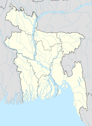 Asharkotaআশা Location in Bangladesh | |
| Coordinates: 23°23′50″N 90°50′05″E / 23.39722°N 90.83472°E | |
| Country | |
| Division | Chittagong Division |
| District | Lakshmipur District |
| Upazila | Ramganj Upazila |
| Union | Noagaon Union |
| Elevation | 30 ft (10 m) |
| Time zone | UTC+6 (Bangladesh Time) |
Asharkota or Asharkata (Bengali: আশারকোটা) is a village in Ramganj Upazila, Lakshmipur District in the Chittagong Division of eastern Bangladesh. It lies just to the northwest of Palakhal and north of Singua, 40.6 kilometres (25.2 mi) by road north of Ramganj.[1] The land is very low lying, at 10 metres (33 ft) above sea level.[2]
- ^ Cite error: The named reference
GMwas invoked but never defined (see the help page). - ^ Cite error: The named reference
geowas invoked but never defined (see the help page).