 Global Information
Annaglogh Lead Mines information
This article includes a list of general references, but it lacks sufficient corresponding inline citations. (November 2019) |
This article may relate to a different subject or has undue weight on an aspect of the subject. (July 2020) |
 Annaglogh Lead Mines on the OS map | |
| Location | |
|---|---|
 Annaglogh Lead Mines | |
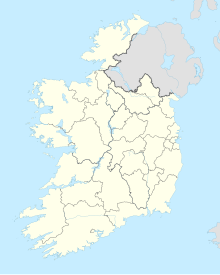
| Location | Clontibret |
| County | County Monaghan |
| Country | Republic of Ireland |
| Coordinates | 54°11′15″N 6°45′42″W / 54.187615°N 6.761702°W |
| Production | |
| Products | lead |
| Greatest depth | 240 feet (73 m) |
| History | |
| Opened | 1852 |
| Closed | 1867 |
Annaglogh was one of the larger lead mines in the Clontibret area of County Monaghan in Ireland.[1] Annaglogh Mine is shown on the 1856 2nd edition OS map.[2][3]
- ^ "www.genuki.org.uk".
- ^ News Letter, Saunders' (20 March 1856). "To Mining Companies or parties requiring Mining Properties".
- ^ Irish Mining Prospects, Belfast News-Letter (10 November 1851). "County Monaghan Mines".